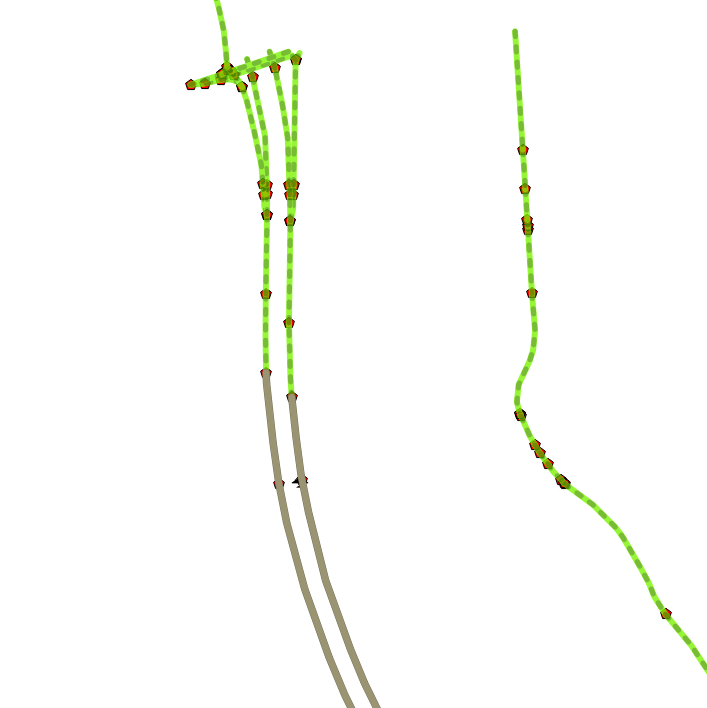
A traffic layer made by OSM
Check out the traffic flow state in Belgium where measured (15min window). I went ahead on the concept and built a real one, while building a mobile HTML5 application. You can see the page full size here. Click the house , bottom right to zoom to the max extent of the traffic layer. I’m trying…